
SRIJB adds PhD student Georgie Efegenia Humphries to the team
The Science and Resilience Institute at Jamaica Bay is expanding again to meet the growing challenges the estuary faces in a changing climate. SRIJB would

SRIJB Welcomes Polly Pierone & Véronëque Ignace
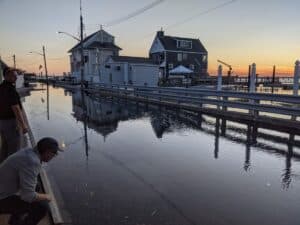
As NYC faces growing threats from sea level rise, the Science and Resilience Institute at Jamaica Bay is expanding its FloodNet team. FloodNet is a

SRIJB Welcomes Dr. Jonathan Hallemeier
The Science and Resilience Institute at Jamaica Bay is thrilled to be hosting Dr. Jonathan Hallemeier, a visiting scholar at Brooklyn College who is an
Summary of the Intergovernmental Panel on Climate Change’s Climate Change 2022 Report
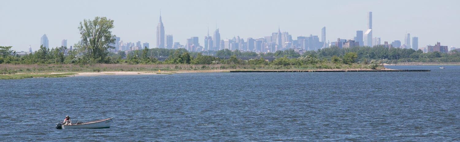
The latest report by the Intergovernmental Panel on Climate Change (IPCC), released March 2022, is a clarion call for cities, states and nations to move swiftly